Environmental intelligence / Ghana

See the mine.
Understand the
environmental picture.

Turn a Ghana mine location into a clear desktop screening report—connecting land, water, flood exposure and reclamation with the evidence your team still needs.

For EIA consultants, ESG advisers and mine environmental teams — and, through the reviewer lens, the EPA case officer who receives the submission.

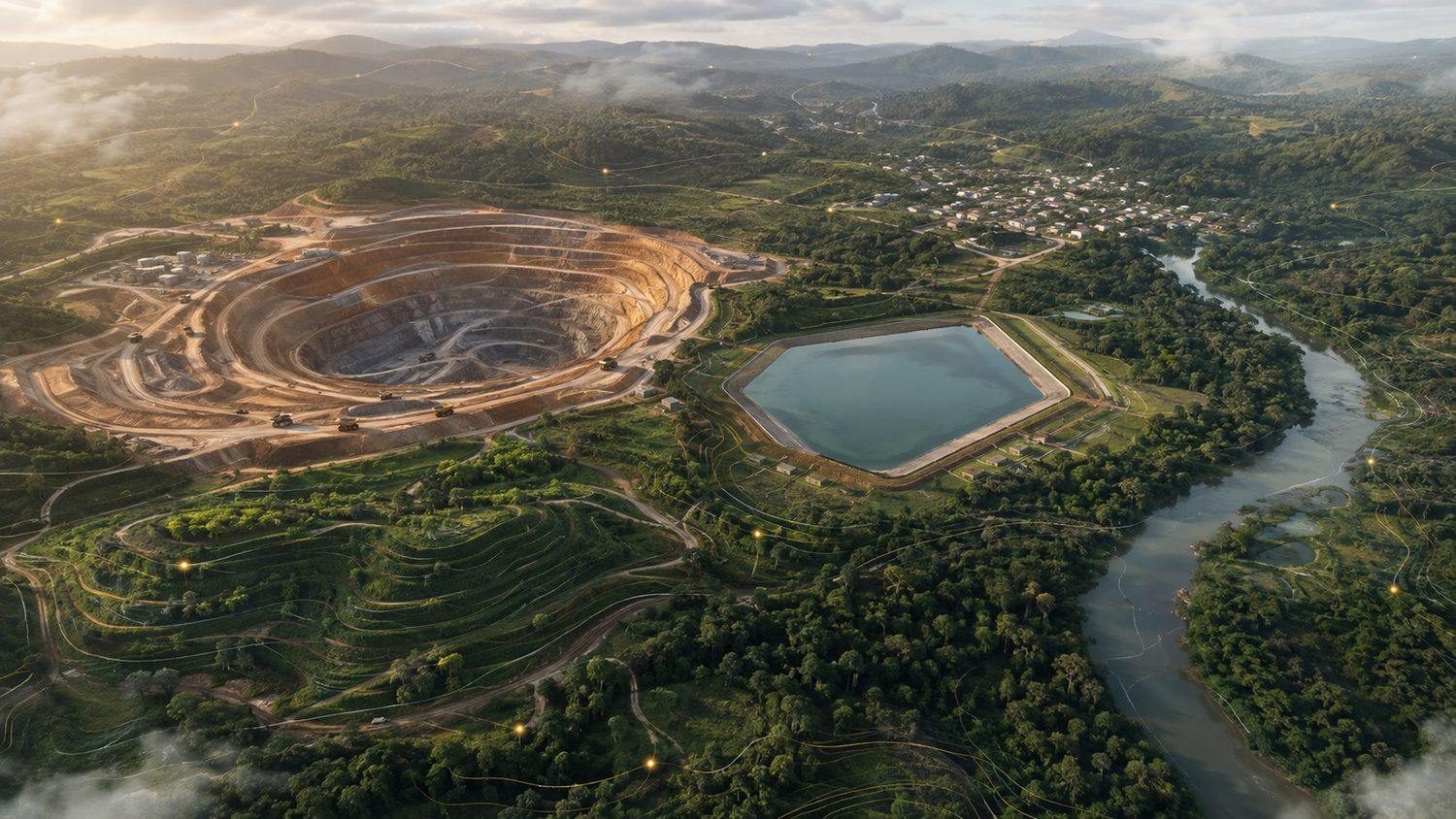
Illustrated Ghana-inspired open pit mine surrounded by forest, water features and restored landMINE · WATER · LAND · COMMUNITIES
AI-generated concept landscape. Not a real mine, surveyed boundary or screening result.
05 Commodity profiles09 Shared framework packs02 Lenses: proponent draft & EPA reviewerDesigned for Ghana. Built for practitioner review.

Look beyond the pit

A mine is more
than its footprint.

Connected environmental questions in one starting point. Live spatial signals are separated from illustrative templates and professional evidence gaps.

Land, communities & galamsey

Locate protected-area, forest-reserve and contamination signals, and the illegal-mining (galamsey) context — documented hotspots, affected-river corridors, district prevalence and recent satellite-detected clearance. Identify where tenure, resettlement and community records are still needed.

Water & flood exposure

Screen watercourse proximity, wetlands and flood susceptibility across sample points—not just one location.

Tailings & process risks

Connect commodity risks to framework requirements. Flag engineering and operator evidence desktop screening cannot supply.

Reclamation & legacy

Explore planting palettes and illustrative vegetation air-quality co-benefits. Turn assumptions into questions for site calibration.

From location to evidence

Three steps. A clearer starting point.

01 / Locate

Choose the site and commodity

Open a demo, or select a Ghana location. Gold, lithium, bauxite, manganese and licensed small-scale gold each carry their own profile.

02 / Screen

Build the environmental picture

Choose a seed demonstration or request live SafeGround and FloodGuard screening. Samples give indications, not complete lease coverage.

03 / Review

Read it as proponent or as reviewer

The proponent draft plans fieldwork and drafting. The EPA reviewer lens turns the same screening into a triage checklist for the case officer. Print either to PDF.

MINECHECK / DESKTOP SNAPSHOT

Your environmental
starting point.

01 / Site map & samplingSpatial context
02 / Screening findingsSource-labelled
03 / Framework matrixReview required
04 / Reclamation outlineIllustrative
05 / Evidence gap registerNeeds primary data

Report structure preview—not a mine assessment.

The deliverable

Not just a map.
A useful next-step report.

  • Site context and multi-point screening findings.
  • Selected Ghanaian and international framework requirements in one matrix.
  • Missing field data, consultation and sign-off made explicit.
  • Reclamation concepts and clearly labelled modelling assumptions.
Read the methodology and limitations ↗

Explore the tool

Five profiles.
Different environmental questions.

Public-data demonstrations with illustrative boundaries. Not operator-endorsed assessments. Live requests may use cached data or fall back to labelled seed findings. Check each report's provenance.

Receiving a submission rather than preparing one? Open the gold demonstration as an EPA reviewer ↗ — the same screening re-ordered into a triage signal, priority site checks and a tick-able LI 2504 / AKOBEN completeness checklist.

Start your screening

Put your concession
in the picture.

Load the concession boundary — a GeoJSON, KML or WKT polygon, the plan's pillar coordinates (decimal, DMS or UTM 30/31 N), or draw it on the map. The screening grid is clipped to the polygon and its area is computed.

A point is not a lease boundary. A single coordinate creates a commodity-sized demonstration area; a polygon gives a lease-specific screen.

Screening—not certification. MineCheck does not establish compliance, replace an EIS, or conduct field surveys and consultation.

Click the map to drop a point, or use the boundary tools below to load / draw the concession polygon. Ghana only.

Coordinates must be in Ghana. Live screening is rate-limited. Reports are desktop drafts on public/screening-level data — not an EIS, and not a determination about any named operator.

Built by Dr. Minka Aduse-Poku · Resilicity
Environmental science translated into practical desktop decision support. Review sources, assumptions and scientific references before relying on an output.

Methodology & credentials ↗